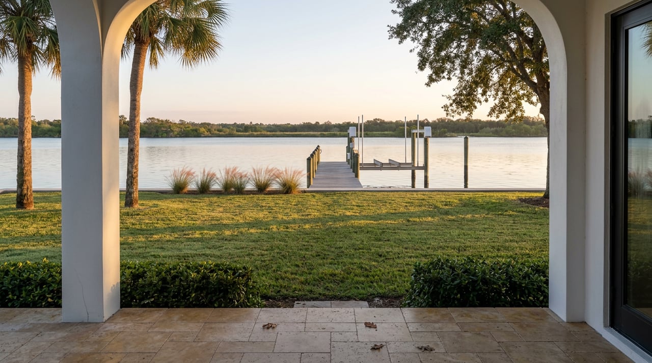
A Sorrento Shores seller called us in July, worried about a piece of county news. She'd read that Sarasota County was moving toward a decision on the Blackburn Point Bridge, and she wanted to know if that meant her canal home would lose value before she could even get it listed. Would buyers assume their boats couldn't get out? Would the bridge fight scare off anyone shopping for waterfront?
We understood the instinct. The bridge has been in the local news for over a year, and it's easy to assume a headline about "Osprey's landmark bridge" touches everything Osprey, including the water beneath a seller's own dock. It doesn't. The bridge carries cars, not boats, and the decision in front of county commissioners this fall has almost nothing to do with what actually slows down a waterfront closing in this market. That part comes down to a seawall report and a flood zone line, and most sellers aren't thinking about either one until a buyer's inspector brings it up first.
What the fall hearing actually decides
Blackburn Point Bridge is a one-lane swing bridge on Blackburn Point Road, carrying traffic across the Gulf Intracoastal Waterway to the northern tip of Casey Key. It opened to vehicle traffic in December 1926 and has been listed on the National Register of Historic Places since 2001. It was built for a 50-year service life and has already run nearly double that.
The county's concern isn't the water side of the bridge. It's the road side: clearance that falls short of current U.S. Coast Guard recommendations, a structure the county has classified as functionally obsolete, and a hurricane evacuation route that planners say needs wider, taller capacity than a century-old swing span can offer. Sarasota County has held three public workshops on the project, and a formal public hearing is tentatively scheduled for this fall at a Board of County Commissioners meeting, where the board will weigh options ranging from a full rehabilitation to a new swing or bascule bridge. If commissioners choose to preserve the bridge as-is, the renovation is estimated at $31 million, and even then, engineers project only about 10 more years of service life before the same conversation starts over.
That's a real decision with real consequences for how people drive on and off Casey Key. It says nothing about how they boat off their own dock.
What the bridge doesn't touch
Here's the detail that gets lost in the headlines: most of Osprey's waterfront canals don't route through Blackburn Point Bridge at all. Canal communities like Sorrento Shores sit on deep saltwater cuts that run directly to Little Sarasota Bay with no fixed bridges in the way, which is exactly why the area has long attracted sailboat and larger-yacht owners who need vertical clearance a fixed span would block. The Blackburn Point structure is a road bridge over the Intracoastal near the northern end of Casey Key. It doesn't sit across the canal mouths that feed most Osprey waterfront lots.
That distinction matters when you write your listing. If your canal has always had unobstructed access to the bay, that claim about "no fixed bridges to open water" is still just as true today as it was before the county opened its first public workshop in 2025. Don't let a buyer's agent talk your marketing down over a story that applies to a different stretch of water. And don't oversell it either. If your specific canal does pass under a low span somewhere between your dock and the bay, say so plainly, because a buyer who plans to dock a sailboat there will find out at low tide either way.
| Concern | What sellers assume | What it actually affects | What to check before listing |
|---|---|---|---|
| Blackburn Point Bridge decision | Boat access and canal value | Vehicle crossings to Casey Key and evacuation route capacity | Nothing to verify on your dock. Confirm your own canal's actual bridge clearance if you market boat access. |
| Seawall condition | Cosmetic cracking, minor issue | Structural integrity, insurance eligibility, buyer credit demands | Schedule a marine inspection before you list, not after an offer |
| Flood zone (X vs. AE) | Same zone as the neighbors | Flood insurance and annual premium | Pull your parcel's FEMA flood zone and, if in a Special Flood Hazard Area, request an elevation certificate |
The seawall number that actually moves your closing
Most of the seawalls holding back Little Sarasota Bay were poured or driven in the 1970s through the 1990s, which puts a large share of them at 30 to 50 years old, right at or past typical design life. Replacement in the Sarasota area commonly runs $500 to $1,000 per linear foot, so a modest 60-foot residential wall can mean $30,000 to $60,000 before permitting and engineering fees.
The risk isn't the age of the wall. It's who finds the cracking first. If a buyer's inspector spots a bowed panel, a rust-stained tie-back, or soil loss behind the cap during their own due diligence, they may ask for a repair credit. A pre-listing inspection flips that dynamic. You get to see the same cracks first, decide whether to repair or price around them, and walk into negotiations with your own contractor's number.
Before you list a canal or bayfront home in Osprey, walk the wall and look for:
- Horizontal cracking across concrete panels
- Tie-back rods showing rust bleed at the cap
- Any section that has visibly leaned, bowed, or shifted out of line
- Standing water or seepage in the yard after a high tide
- Soft spots or small depressions in the lawn near the wall, a sign of soil loss behind it
Structural engineers generally recommend inspecting coastal seawalls at least once every five years, and more often once a wall shows any wear or has had prior repairs. If your wall hasn't been looked at since the last time you refinanced, that's worth doing before your first showing, not during option period.
The flood zone split hiding on your street
Osprey's mainland runs a real mix. Inland stretches west and east of the Trail often carry an X designation, which doesn't trigger mandatory flood insurance. Cross closer to a canal or the bay and you're frequently in an AE zone, where FEMA has mapped a Base Flood Elevation. Properties in these Special Flood Hazard Areas can face flood insurance premiums running several times higher than a comparable home in Zone X, and the difference isn't always obvious from the street. Two homes a block apart can carry very different insurance math simply because one sits closer to the water's mapped floodplain.
If you're selling, pull your specific parcel on FEMA's Flood Map Service Center before you set a listing price. If your home sits in AE, request or commission an elevation certificate showing how far your lowest floor sits above Base Flood Elevation. That single document can be the difference between a buyer's lender approving a policy in the low thousands per year and one that walks away from the insurance quote altogether. Sellers who hand over a current elevation certificate and a declarations page on day one of showings avoid the mid-contract insurance scramble that kills deals in the final stretch of escrow.
West of the Trail changes who shows up
Osprey's real estate has an internal geography that shapes who tours your home. Communities west of US 41, including much of Sorrento Shores and the older canal-front streets nearer the bay, tend to run without deed restrictions, which draws boaters, RV owners, and buyers who want room for a workshop or a second vehicle without an HOA weighing in. Communities east of the Trail, including the gated golf and country club neighborhoods around The Oaks, run on HOA structure and amenity access, which draws a different buyer entirely, often someone prioritizing a maintained clubhouse and golf membership over boat storage.
Marketing a West of Trail listing with country club language, or a gated East of Trail home with boater-first framing, sends the wrong buyer through the door and wastes showings on people who were never going to write an offer. Know which side of that line your home sits on and write your listing to the buyer who actually wants it.
FAQ
Does the Blackburn Point Bridge decision affect my home's value? Only if your daily commute or evacuation route runs through it. It has no bearing on boat access for canals that don't route under that specific bridge, which describes most Osprey waterfront.
How do I find out my flood zone before I list? Look up your parcel on FEMA's Flood Map Service Center using your address. If you're in an AE or VE zone, request your existing elevation certificate from your file or have one commissioned.
Do I need a seawall inspection if the wall looks fine from the yard? Yes. Cracks below the waterline, corroded tie-backs, and soil voids behind the cap rarely show from ground level. A marine inspection catches these before a buyer's inspector does.
Is Sorrento Shores actually unaffected by the bridge story? The canal itself is unaffected, since the neighborhood's water routes to the bay without a fixed bridge in the way. What the county decides about Blackburn Point Bridge changes car access to Casey Key, not boat access from Sorrento Shores docks.
If you're weighing when to list a canal or bayfront home in Osprey, or you want a straight answer on what your specific seawall and flood zone actually mean for your sale, reach out to Houses with Hart. We'll walk your dock with you before a buyer's inspector does.
This article is general information, not legal, tax or financial advice. Consult a qualified professional about your situation.